How geospatial software solves built environment challenges
From zoning uncertainty to EIA screening—turn spatial complexity into faster, defensible decisions.
Launch hosted apps, explore datasets, and run explainable suitability models for better decisions — fast. Analyze, Visualize, & Share.
Drag-drop GeoJSON, KML, Shapefiles, CSV, and COG rasters — visualize instantly.
Try in GeoAnalystAllocate units/GLA to top scoring cells, compare trade-offs, export maps.
ExploreFast, private, in-browser: reprojection, joins, simplify, lint & fix.
Open ToolkitZoning & controls lookup, parking & loading, SDP checklist, consent wizard.
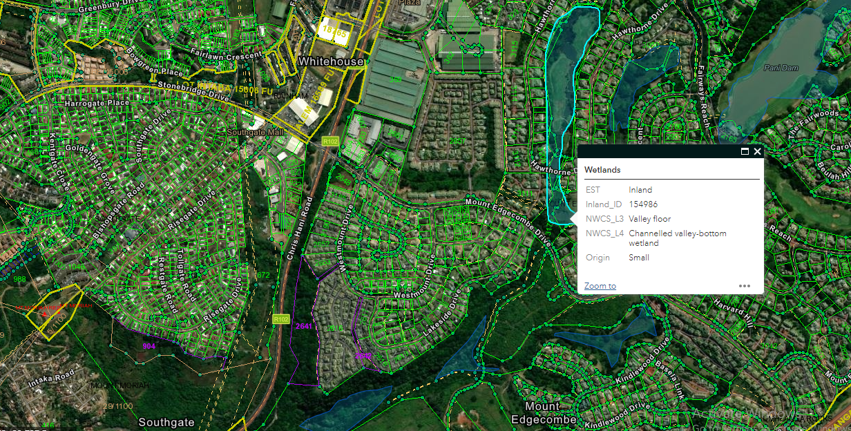
Start PlanningAdd & style layers, measure & draw, run spatial analysis (buffer/intersect/clip/joins), preview rasters, and export/share — all in your browser.

Check seasonal shadows by date/time and test overshadowing against height and setbacks. See an hour-by-hour Sun Hours heatstrip, animate, and export PNG/PDF.

View municipal zoning layers (where available), search parcels and reveal quick controls.

Estimate service access for households: % within 5/10/15 minutes of schools, clinics, transit, etc.
From zoning uncertainty to EIA screening—turn spatial complexity into faster, defensible decisions.
Transparent weights, reproducible scoring, and datasets you can trust.
A modular app approach for faster, auditable planning decisions.
Jumpstart projects with pre-built, explainable workflows you can tweak and export.
Tile pipelines, vector tiles, COG rasters, and analytics.
ETL, validation, schema design, and performance tuning.
Suitability, accessibility, overlays, and feasibility scoring.
“We cut weeks off our site testing with GeoAnalyst’s buffers and overlays.”
“The Town Planning suite makes quick controls and parking calcs effortless.”
“Offline field data collection with templates is a game changer.”
Monthly digest. No spam. Unsubscribe anytime.